In the previous post, we drew lines from the Dukes of Richmond and Wellington and connected them to the roads bearing their names in Ottawa via the Earl of Dalhousie and Colonel By. We ended with Colonel By establishing By Town and laying down Wellington and Rideau Streets in Upper Town and Lower Town, respectively.
Today we continue the saga of Ottawa's Wellington Street and start to look at its earliest connections with other roads and the names they've had. We'll be focusing on the western end of Wellington Street as it skirts around the edge of LeBreton Flats. (The full list of posts is in the Introductory post in this series, populated as each part is posted)

Union Bridge across the Chaudière
One of By's first orders of business was to contract Thomas McKay1 to build the two stone arches of the Union Bridge across the Ottawa River at the Chaudière Falls, thus connecting the newly created By Town with Wrightstown (later Hull, now Gatineau) in Canada West (later Lower Canada, later Quebec),2,3 as that more established settlement had the necessary resources with which to build a new one and, in turn, a canal.4This connection across the Chaudière Falls was built in Winter 1826-1827 by two companies of the Royal Sappers and Miners who would then "live in tents near Richmond Landing until their stone barracks on the eastern slope of Barrack Hill are constructed."5 The row of bridges ended in the lowlands near Richmond Landing, on Nepean Township's Lot 40, the northern part of which was owned by Colonel Le Breton (who hadn't granted permission).6
Pooley's Bridge and the Wellington link
A connection would necessarily have been made between the Union Bridge over the Chaudière and the western end of Bytown, marking the first of what would be many times that Wellington is connected to another road (there being nothing else to connect to, such a connection would presumably have been continuous), however I've seen no sketch of what this would have looked like, aside from the above, and Wellington might have only gone straight to the water down the cliff without connecting to the Bridge.In 1827, By ordered Lieutenant Pooley to construct a bridge over a gorge to make this connection more direct, resulting in a bridge of round timber7,8 (replaced in 1873 by a stone bridge built by Thomas Keefer as part of the Fleet Street water pumping station and aqueduct).7 The bridge now only carries pedestrian and bicycle traffic, but is still called Pooley's Bridge. That bridge appears on this 1828 sketch,6 showing Wellington meeting the "Road to Hogsback" at a right angle. If there had previously been a continuous road/trail between Wellington and Chaudière, this right angle would make it the first time that Wellington was disconnected.

In An Acre of Time, Jenkins writes that "John LeBreton ... paid for two road extensions to link Pooley's Bridge with the west end of Upper Town,"9 which fills in a piece of that puzzle. I'll use the term "Wellington trail" to distinguish the informal narrow route that winds around according to geographic features from the formally laid-out and squared section of Wellington.
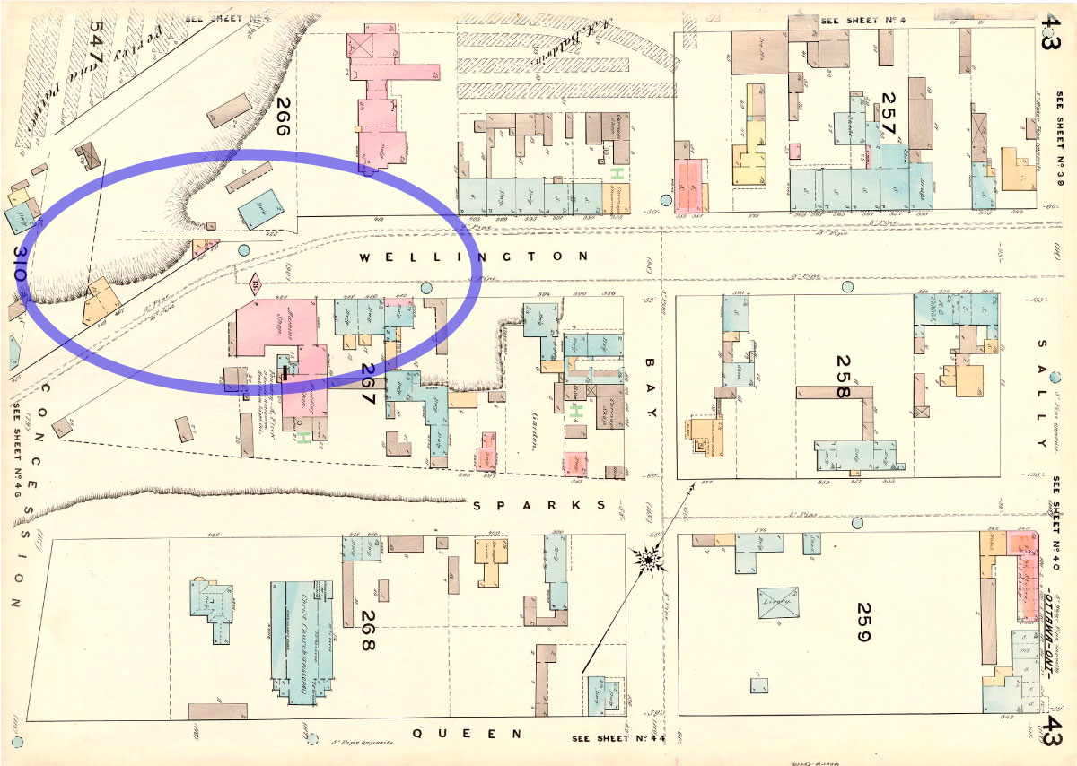
At the Ottawa Room, I found this photocopy of an 1858 reproduction (NMC43156) of a map from 1831 (NMC14284).

The original map10 show below has more detail, and more clearly shows Pooley's Bridge (which is not labelled) and seems to show Wellington trail more clearly. It either forks evenly at Pooley's Bridge, or the Road to Hog's Back is more prominent. This would suggest that rather than meeting the Pooley's-Hog's Back road at a right angle, they were now both continuous with Wellington.

If true, this would make it the first time Wellington was reconnected to another road. However, both the 1828 and 1831 maps appear to show the roads meeting around roughly the same geographic features, so it's likely they're both describing the same on-the-ground situation (albeit very differently—look at the Hog's Back Road in relation to the Concession line!), and given that the 1831 map refers to "Mr. La Britton", and elsewhere Besserer as "Mr. Bissera" one cannot consider it perfect.
These are the kinds of inconsistencies that have made this project take so long. I think it's safe to say that Wellington (or the trail extending from it) has had at least one disconnection and/or reconnection from another "road", at the very least with the creation of Pooley's Bridge (vs. whatever route was used prior), and possibly another depending on the connections on the bridge's east side in the maps above.
Incidentally, the Wellington trail would have also connected to the Richmond Road, although not continuously (the map above shows it forking in the opposite direction, coming off the bridge), foreshadowing Wellington Street's future connections to Richmond.
LeBreton Flats is laid out
In 1842, a plan was developed to lay out the roads and properties on LeBreton's lot. The map, drawn by District Surveyor Donald Kennedy on December 4th, also features a detailed rendering of the Union Bridge over the Chaudière.11
It's important to note that these are merely lines on paper; nothing was built yet, as is evident by the conflicting extensions of Wellington Street at the south end of LeBreton Flats.
This drawing of "the Chaudière area", an inset of a 1980(?) redrawing of an 1842 map,12 shows little but the Wellington trail crossing Pooley's Bridge and connecting to the Chaudière crossing and road to Richmond:

More precisely, this 1845 map13 shows only a single tail of Wellington, leading across Pooley's Bridge, and no other streets. However, it appears that a new road has been built connecting to the Chaudière Bridges and the Québec side of the river. The roads to Richmond and Hog's Back are not shown at all, suggesting that the roads shown are more built up than the trails to those places (and perhaps, with the canal having been completed in 1830,14 the road to Hog's Back may have become redundant). Or perhaps the map maker simply didn't draw them, as is the case with the Sparks property, which would have at least had a farm on it.15

Note that in the above map, alongside the connection to Union Bridge (which roughly follows the alignment of the diagonal road on the 1842 plan which would eventually become Duke Street, also named for the Duke of Richmond9) is a second road labelled "old road", which means that we have found another time that Wellington's connections have changed!
This black-and-white reproduction of an 1845 watercolour by Thomas Burrowes, reproduced in the 1927 book by Ross (the one with the wrong information about the first settlers in Part 1) shows a scene looking east from the "West end of Wellington Street".16 I'd venture to guess that the road along the right fence is the connection between Wellington Street and Pooley's Bridge.

George Street and Victoria Terrace
Next we have this 1856 map,17 which shows the first time a road continuous with Wellington Street has a name. I can't find out how or exactly when it got the name, but so-called "George Street" now connects Wellington to Pooley's Bridge along the route I temporarily referred to as "Wellington trail", formally ending at Hill Street.18 The street continues as Victoria Terrace, connecting to Richmond Road, which by now has taken a more formal alignment, in line with the road allowance between Lot C and Lot D (i.e. Maria Street, present day Laurier Avenue). Lot 40 runs perpendicular to lots C and D so I'm not really sure how the concession line cuts through it, but there you have it. This map also shows only the lots, and not the actual built situation, but it does label the area "LEBRITTON", north of Richmond Road.
This was an official name for the street: In 1849, Bytown Town Council passed "Bye-Law (sic) No. 60 to establish a grade of Wellington street from Doran's Hotel to George Street",19 which is the earliest reference I found to that George Street. While the street name appears on two maps, I could not find many business references to this George Street. Their customers likely would have gone to the much more prominent George Street in Lowertown instead!
Two rental listings in the Packet on 1851-09-20 are the earliest reference I could find to the street. One is for a house on "Georges Street, East end Victoria Terrace"20 (in subsequent ads Reid's ad would read "To be let or sold" and would have an apostrophe on "George's Street"21) and another for commercial shops which "command the entire Western entrance to Bytown."22

The town council proceedings of August 28, 1850, show as the last order of business tendering "certain improvements" of Victoria Terrace to John Ring,23 for which he was reimbursed £12 10s in September24 and £7 10s in November.25 Unlike George Street, a number of businesses did advertise their location as "Victoria Terrace, Richmond Road" in classified ads in the newspapers, the earliest in 1853, and an 1851 obituary of John Rochester's brother-in-law, James Anderson, Esq., notes that he moved back to Bytown from Hull two years prior, presumably to Victoria Terrace where he died.26
This 1863 map,27 which shares many of the characteristics of the 1856 one, shows not just the legally defined lots but also the locations of actual buildings upon them, giving us more confidence that this map reflects the situation of the day rather than just plans. Wellington Street, and its pals George Street and Victoria Terrace, form the boundary between Victoria Ward and Wellington Ward, and they connect to Richmond Road, which forms the southerly city limit west of Division Street (later Booth).

George and Wellington: intersection or continuation?
The above two maps are the only ones I could find which label George Street and Victoria Terrace. Curiously, Wellington Street appears on the above map to extend west, past where George Street (apparently) intersects with it. This might suggest some justification in George Street not simply retaining the name of Wellington street, and could contradict my considering it as an extension of Wellington this early.This 1874 map28 shows the extension of Wellington Street even more starkly (and labels Victoria Terrace, the only map to do so other than the two above). The horse-drawn Ottawa City Passenger Railway's initial Hull-St. Patrick line, which had opened four years previously,29 is shown passing through George Street in place of the street name:

However, the somewhat common 1876 bird's eye view of Ottawa,30 looking from across the Chaudière, confirms that the apparent continuation of Wellington Street past George is but a mere lane.

And the 1878 Fire Insurance maps confirm this, reassuring us that George Street and Victoria Terrace are indeed extensions of Wellington Street.
Tune in next time* for Part 3, which will discuss the many changes in the 19th and early 20th centuries to the east end of Wellington, where it meets Rideau Street. Then it's back to this west end of Wellington for the rest of the series. As always, I've done my best to filter out the wrong information and provide sources for the rest; corrections are welcome by email, tweet, or comment (all comments are moderated). (*When it's ready, I'll note the planned posting date in the full list of posts in the Introduction post)
Show/hide references
- 1: ▲ Haig, Robert. Ottawa, City of the Big Ears, 1975, p. 65. Citing a letter dated 1826-10-18 from John MacTaggart, Clerk of Works for the canal project
- 2: ▲ Haig 1975 p. 68.
- 3: ▲ Robinson, James. The Curse of LeBreton Flats: An Untold History of Ottawa. Baico Publishing, 2014, p. 37. Referencing "Wellington to Bathurst, G.D. 54/3/335, March 1, 1819"
- 4: ▲ Brault, Lucien. Ottawa Old & New. Ottawa Historical Information Institute, 1946, p. 48.
- 5: ▲ Haig 1975 p. 72. "The 15th Company arrives on June 1 [1827] and the 7th Company on September 17."
- 6: ▲▲▲ "Plans of Lots 39 & 40 in the Broken Front to the South of the Timber Channel at the Chaudiere Falls." Virtual Museum of Canada/Heritage Passages. Carleton University, Accessed on 2019-11-05, Maule Family / Earl of Dalhousie fonds, "36 plans and abstract of the estimate of expenditure of the Rideau Canal", 1828, National Archives of Scotland, GD45/3/9.
- 7: ▲▲ NCC. Pooley's Bridge and five stone arch bridge in LeBreton Flats Area (Pamphlet). Regional Municipality of Ottawa-Carleton, 1998, This was a two-sided one-page document distributed at a public open house on or about Nov 16, 1998.
- 8: ▲ Serré, Robert. "POOLEY, Henry." Bytown: At your Fingertips = En Toutes Lettres. Bytown Museum, 2011, p. 107. Citing Jenkins, although I didn't notice the detail about the cedar log bridge in Jenkins.
- 9: ▲▲ Jenkins, Phil. An Acre of Time: The Enduring Value of Place. Macfarlane Walter & Ross, 1996, p. 136.
- 10: ▲ "Upper and Lower Bytown, showing Lots and Streets." University of Toronto map and data library, Accessed on 2019-11-08, NMC14284, Cartographer Sam Howlett, Chief Draftsman (1779?-1836), John Nightingale, Assistant Draftsman, John J Burrows (1798-1848). Created 1831, revised 1858.
- 11: ▲ "Plan of Bytown with its limits shewing the exact situation of every street & lot. Drawn to a scale of 6 chains to the inch by Donald Kennedy, District Surveyor.." University of Toronto map and data library, Accessed on 2019-11-08, NMC19056. The Ottawa Public Library also has a photocopy of a version of this map, NMC22556, which has the same title, isn't broken up into panels, and has a completely different drawing of the Union Bridge.
- 12: ▲ "1842 map from Looking Back, Pioneers of Bytown and March, by Naomi Slater Heydon, 1980 Nemo Publications.." Georectifying maps. Sarah Simpkin, Accessed on 2019-11-05, The map also appears on Bytown.net and is attributed to the book Looking Back but I don't have the book to see what page etc. I got my copy from Sarah Simpkin's 'Georectifyingi maps' page.
- 13: ▲ "Upper Bytown [Ottawa, ON] boundaries as marked on the ground and laid agreeably to the M. G. & Board's order." Virtual Museum of Canada/Heritage Passages. Carleton University, Accessed on 2019-11-10, Plan of Upper Bytown Shewing the boundaries as marked on the ground and laid out agreeably to the M. G. & Board's order, with a boundary line added 1848 showing the northern limit of the Sparks property (Lot C, Concession C). Dated 23rd April 1845. It's listed as 1950 on the Historic Passages listing but the map itself says 1845.
- 14: ▲ Haig 1975 p. 79.
- 15: ▲ Elliott, Bruce S. The City Beyond: A History of Nepean, Birthplace of Canada's Capital 1792-1990. Corporation of the City of Nepean, 1991, p. 86.
- 16: ▲ Thomas Burrowes. "West end of Wellington Street Looking East, 1845 (watercolour)." Ottawa Past and Present. The Musson Book Company Limited, 1927, p. 151. Although Page 144 is written on the image, the plate appears opposite page 150 in the book.
- 17: ▲ "Carleton and Russell with a correct map of the City of Ottawa compiled from the most accurate surveys by W. A. Austin P.L.S. C.F.." Georectifying maps. Sarah Simpkin, Accessed on 2019-11-05,
- 18: ▲ "By-Law No. 175: By-law to change the names of certain streets in the City of Ottawa." City of Ottawa Bylaws, 1879. City of Ottawa, 1880-01-16, p. 511. This by-law was passed in 1880 but is printed in the 1879 Bylaws book because the meeting took place three days before the first Council meeting of 1880. It is misnumbered in that book as 175 instead of 475.
- 19: ▲ "Bye-Law No. 60 to establish a grade of Wellington street from Doran's Hotel to George Street." The Packet (forerunner to the Citizen) [Ottawa], 1849-09-20, p. 3 Col 5.
- 20: ▲ Classified ad by Robert Reid. "TO LET." The Packet (forerunner to the Citizen) [Ottawa], 1851-09-20, p. 3 Col 4. The ad is dated (i.e. was submitted to the paper) 1851-09-13
- 21: ▲ Classified ad by Robert Reid. "TO BE LET." The Packet (forerunner to the Citizen) [Ottawa], 1851-12-27, p. 3 Col 5.
- 22: ▲ Classified ad by Edward V. Cortlant. "TO BE LET." The Packet (forerunner to the Citizen) [Ottawa], 1851-09-20, p. 3 Col 4.
- 23: ▲ "Town Council Proceedings." The Packet (forerunner to the Citizen) [Ottawa], 1850-08-31, p. 2.
- 24: ▲ "Town Council Proceedings, Town Hall, 30th Oct.[sic], 1850." The Packet (forerunner to the Citizen) [Ottawa], 1850-10-05, p. 2. Presumably the title meant 30th September.
- 25: ▲ "Town Council Proceedings." The Packet (forerunner to the Citizen) [Ottawa], 1850-11-23, p. 2.
- 26: ▲ "Died.." The Packet (forerunner to the Citizen) [Ottawa], 1851-08-09, p. 2 Col 7.
- 27: ▲ Gray, Ormando Willis, Henry Francis Walling, and D.P. Putnam. "Map of the county of Carleton, Canada West. (1863)." Norman B. Leventhal Map & Education Center, Accessed on 2019-11-11, This is a map of the entire Carleton County including all townships, and has an inset map of the City of Ottawa.
- 28: ▲ Mara & Maingy, patent agents. "Map of the City of Ottawa scale 16 chains to the inch 1874." Wikipedia. Wikimedia Foundation, Accessed on 2019-11-05,
- 29: ▲ McKeown, Bill. Ottawa’s Streetcars: An Illustrated History of Electric Railway Transit in Canada’s Capital City. Railfare DC Books, 2006, p. 15.
- 30: ▲ Brosius, Herman. Bird's Eye View of the City of Ottawa. Chicago Litho. Co., 1876, This high-resolution copy from OttawaHH.com (linked in map title)
Would you be able to pinpoint where 591 Wellington Street was?
ReplyDeleteIf you go to Maps.ottawa.ca, you can see the old Wellington Street alignment with 587 on the north side, just east of the former Lloyd Street alignment. I suspect 591 would have been the building visible in the 1965 aerial photos at the north-west corner of Wellington and Lloyd (the first block east of Booth).
Delete