Today's entry starts with the West Ward Market, built in 1848 by Nicholas Sparks. This was used as Ottawa's first City Hall, roughly where the NAC is today.
r


The first municipally-built sidewalks in Ottawa actually predate the City of Ottawa's 1855 incorporation: by-law number 37 of the Town of Bytown, approved the 23rd of September, 1850, was "To authorize the expenditure of £75 in making a Plank Sidewalk, S. side York Street":

This excerpt is from an 1890 book summarizing all Bytown and Ottawa by-laws (and other municipally-relevant statistics) from the former's incorporation in 1850 to date. This and the annual By-law books from subsequent years are available for reference viewing in the Ottawa Room at the Ottawa Public Library, main Branch.
Shown below, the first sidewalks on this side of the Canal were approved en masse in By-law number 57, 7th of July 1851, "To authorize the expenditure of a sum of money for Sidewalks in West Ward." The streets aren't specified in the title and I don't have the By-law text available at the moment. However, in the first picture above, the title of By-law number 34 references unspecified improvements to Sparks Street in the same amount as the sidewalks built on York Street, so Bytown's first sidewalks may indeed have been in Centretown!
In addition to By-law number 57 below, note also By-law #69, from 1851 but since repealed, "To compel persons to keep Sidewalks free of Snow." (And for the curious immature amateur numerologists out there, By-law #420 was also about road improvements, "To Improve portions of Maria [Laurier], Gloucester, Sally [Lyon] and Bay Streets and impose rate therefor", 17 Sept 1877)

You can't see any sidewalks in the grainy photo of the Market building at the top of the post (which I took from an Archives department webpage on the City of Ottawa website that was taken down in the last redesign), but there are sidewalks at 208 Concession (Bronson) in this June 1892 photo of the Residence of Alexander J. Christie, Q.C., from Library and Archives Canada's Topley series:

208 Bronson still stands, by the way:

You can still find wooden plank sidewalks like these in Upper Canada Village (set in 1866), seen on a trip I took this past summer. Those might not be so authentic, however, as UCV has had (rightly) to comply with modern accessibility laws.

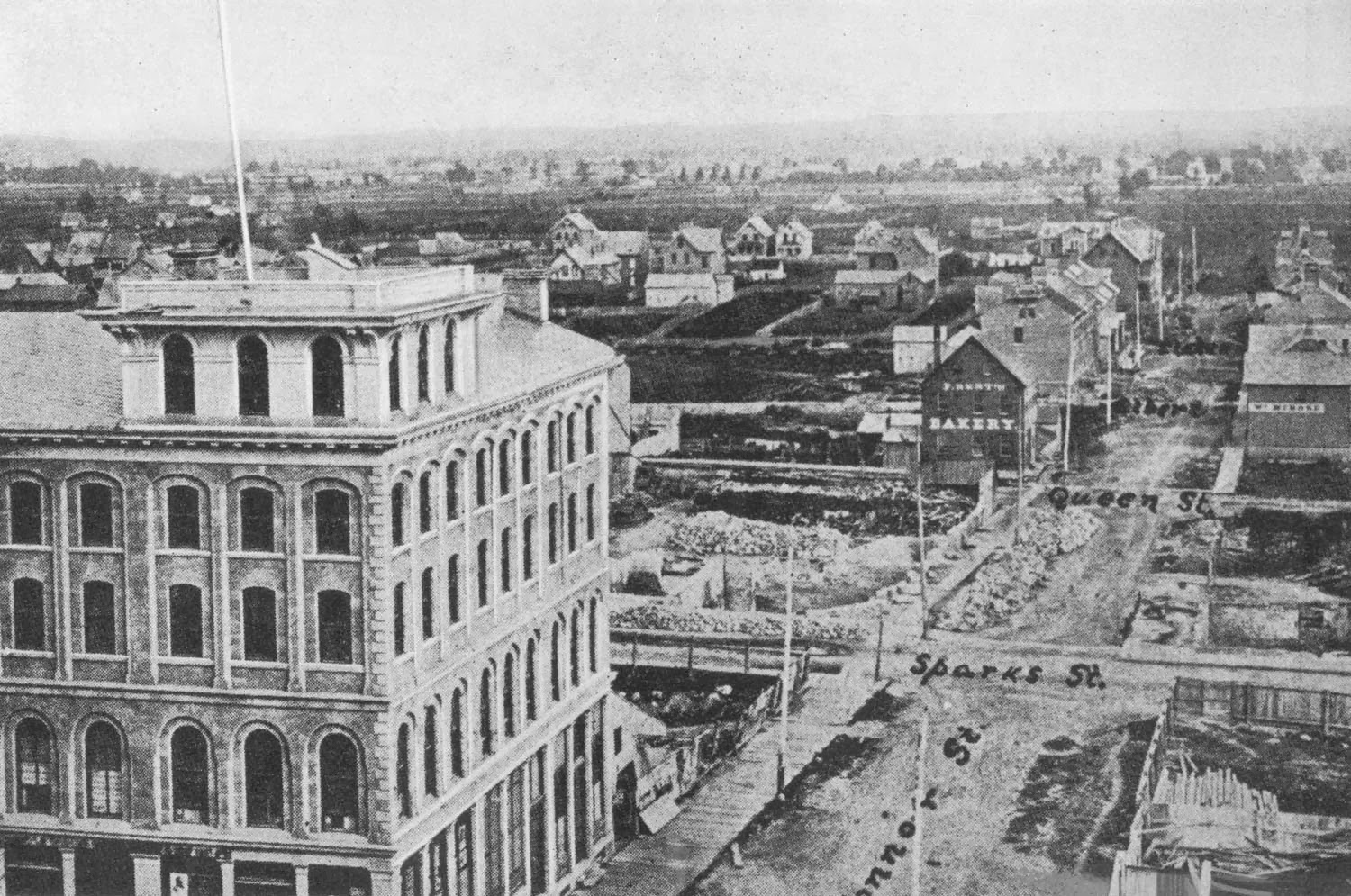
This 1869 photo from the Gréber report shows wooden plank sidewalks on O'Connor Street between Wellington and Sparks Street, where the planks are laid across the walking path, rather than in line with it:
Some of the first concrete (or "Artificial Stone") sidewalks in Centretown were built in the 1890s, including some built on Elgin Street in 1896. The earliest specific reference I could find in the By-law books was a set from 1893, on Wellington, Bank, and O'Connor. A number of streets in Sandy Hill and By Ward were also mentioned:

The first such By-law of that set, number 1367, is for Wellington Street "between Keefer and Concession streets". Like everywhere else in LeBreton Flats, this is hard to picture today based on historical street references. It's currently in what is now the Garden of the Provinces and Territories, but Old Wellington Street still runs right alongside it, opposite the cliff.
The Fire Insurance Map of 1888 (rotated so north-ish is up) shows Keefer Street running parallel to Wellington Street, adjacent to J.R. Booth's lumber yards, before dog-legging south-ish to Wellington Street, roughly in line with where the current Cliff Street meets Old Wellington today. Concession Street was later renamed Bronson Avenue, and at the time it made its way down the hill at Sparks. An outline of its road allowance north of Wellington is visible. The sidewalk built here would have been about 300 feet long, or 90 metres, running in front of the brown squares at the bottom-right part of this map:

Incidentally, since I'd mentioned By-law number 69 above, by the winter of 1901/1902, the City was clearing snow from sidewalks, as set out for that winter in By-law number 2161, for "a sum not exceeding $11,000."

Sidewalks were a long part of City planning. In this plate from the 1915 Bennett report showing a streetcar tunnel under Nanny Goat Hill, you can see sidewalks along all sides of all streets, some with boulevards (as in the current ideal) and some without. This is not to say that they were built at the time, but they were certainly seen as part of a beautiful city.

And it did look rather nice. In 1910, outside "Birkett's Castle", now the Embassy of Hungary, at Metcalfe and Waverley (described in further in this Urbsite post) were nice looking concrete sidewalks with curb-inlet storm sewer catchbasins.

But this doesn't mean Ottawa, or even Centretown, was plush with concrete on every corner. Plate #153 from the Gréber Report is titled "Intersection of Wellington and Lyon Streets in 1938", and showed quite a different scene, only dirt roads and sidewalks in sight:

As you might have noticed, the sidewalks were built full height at corners. The purpose of a sidewalk was to provide a level walking surface separated from vehicles, and, hopefully, puddles. Here's a 1950's shot of Bank and Lisgar I've used previously:

I'll come back to that later, but first let's talk driveways.
If a sidewalk is raised and a driveway crosses it, how does a vehicle get across it? This is where the recent discussion about Toronto Style Sidewalks started. Luckily, the City of Ottawa's Sidewalk Technical Design Guidelines, described in the 2002 report to Transportation and Transit Committee on harmonized sidewalk design contains a history of vehicle accesses. That history is repeated below, in quotes, and I've added photos and comments (and emphasis):
HistoryYou can see these ramps on Kent Street in this 1951 shot looking south between James and Florence (before it was widened:
Providing a safe walking surface for pedestrians at driveways, while at the same time providing vehicular access to homes and businesses, has been a concern of the City's since the 1950's with the result that several improvements to our sidewalk standards have been made.
Prior to the 1950's, asphalt or concrete ramps projected out from the edge of the sidewalk onto the roadway which resulted in drainage problems along the sidewalk, and serious difficulties for maintenance vehicles such as snow plows, sweepers and flushers. Outside ramps at driveway entrances are now prohibited in Ottawa.

It's also visible in this colorized 1928 postcard of Queen Street at Bank Street, which David Jeanes sent me a while ago from a set he found at the Toronto Public Library:

Another example can be seen on Duke Street in LeBreton Flats, with brick down the centre of the vehicle access all across the sidewalk (though the sidewalk itself is still flat for pedestrians):

As the City summary mentions, there were drainage problems with this scheme, and no doubt snow clearing problems once large-blade ploughs supplanted shovelling crews. If the design were reintroduced today, it would cause many issues as cyclists dodged to avoid them into the path of oncoming vehicles.
You can see from this view of Ottawa's first Coca-Cola bottling plant on Queen Street (in which are now found Barbarella's and the Glue Pot Pub) that pipes were installed within the ramps to try to permit water to drain through. I'd suspect they were quickly blocked with leaves, dirt and other debris, hence the drive to a different design:

This ramp design was eventually dropped, as was the surface of the sidewalk itself:
Between the mid 1950’s and 1970’s, the sidewalk at the driveway had a substantial slope or cross-fall from back to front of the sidewalk to accommodate vehicular access.No kidding. If the slope below doesn't look substantial enough for you, keep in mind that the photo (used in the first post in this series) is tilted in a way that makes it look even less steep than it really is!

In 1970, specifications were changed to lower the back of the sidewalk to reduce the cross-fall of the sidewalk at the driveway.
In 1973, further changes increased the length of the tapered slope section approaching the driveway in the pedestrian’s direction of travel along the sidewalk, to further reduce the slope in the direction of travel. In some locations, however, site constraints prevent strict adherence to the new design standards.
This sidewalk on Florence was built after 2000, but it demonstrates the problem with the '70s design described in the City's history:

In 1975, ramping curbs at intersections and pedestrians crosswalks to facilitate the use of City sidewalks by persons confined to wheelchairs.This took a while, and even into the '80s sidewalks on Bank Street had full curbs. Here's Bank and James, looking north on the west side:

And on the east side, at Frank Street, where tree planters were later removed to provide more space for pedestrians:

This sidewalk at the southeast corner of O'Connor and Waverley was clearly retro-fitted to add a dip for accessibility, though I'm not sure exactly when:

The City history continues:
In 1990, the surface finish of the pedestrian ramps were "roughened" to alert visually impaired people that they were about to cross a street or have reached the other side of the street.I've seen some variations on this, though it's not clear which was built when. The retro-fitted sidewalk corner shown above has some wavy striations that wouldn't be very perceptible to the visually impaired.
There are some waves in the sidewalk at the southwest corner of O'Connor and Lewis, but if you zoom in you can see that the effect is fairly superficial; it's more of a visual illusion, which doesn't work if you're blind:

This corner of Gladstone, at Kent Street (showing in 2009 what is now Christopher Griffin's art studio), has some segmentations that would be more clear to the visually impaired, and this can also be seen at other intersections:

The current standard is highlighted at this crosswalk on Bank Street in the Glebe, where the striations can't be inserted in the unit pavers, so sections of concrete were used to provide the tactile markings which indicate the approach to the corner (perpendicular to the walking path), then at the corner itself (parallel):

They still haven't gotten corners right, though. The crosswalks on Bank Street in Centretown (built in 2007-2010) can have some massive puddles, as do Bank Street in the Glebe (built 2011-2012), Preston Street (2008-2010) and others. Bronson, miraculously, has been mostly puddle-free at crosswalks after its reconstruction over the last two years.
Eric's suggestion to fix this is raised crosswalks, though this will just push the puddles to either side of the crosswalks where motorists can splash pedestrians during wet weather. It's not unprecedented in Ottawa; there are a number in Carleton University. On City property, there is one outside Hopewell school in Old Ottawa South:

In some parts of Centretown, raised intersections were recommended as part of the Centretown Traffic Calming Plan (see the map on page 12), and many of these have been installed, such as here at Gladstone and Lyon, looking south. This brings the roadway up to the height of the sidewalk, rather than bringing the sidewalk down the to level of the road. In addition to better drainage, this type of facility requires motorists to slow down.
Unfortunately, the Plan's recommendation for these on Bronson at Gladstone and at Somerset was rejected by the engineers rebuilding Bronson Avenue due to the impact it would have on commuter traffic (despite the many impacts pedestrians suffer from that very traffic at those intersections!):

In 1992, a slight variation in sidewalk design consisting of an integral mountable curb and sidewalk was reviewed. The merit of this design is that it eliminates the "wavy or undulating effect" to the sidewalk at the driveways and provides a level walking surface for pedestrians. Some of the disadvantages of sidewalks with mountable curbs are that they provide less protection for pedestrians than the full barrier curbs and secondly, they permit vehicles to easily park on the sidewalk thereby interfering with safe pedestrian movement along the sidewalk and hampering snow clearing operations. This parking problem currently occurs city-wide in areas where the curb face at the sidewalk has been reduced due to road overlay works undertaken prior to the advent of grinding operations. In addition, there are maintenance disadvantages with mountable curbs regarding street flushing, street sweeping and snow clearing operations along the gutterline that are greatly reduced with full barrier curbs.The "mountable curb" is a design cited now and then by Eric on West Side Action. I'm not a big fan of them myself, for some of the reasons cited in the above excerpt. Namely, that it thwarts sidewalks having a 'barrier curb' (i.e. a sheer curb) to separate the pedestrian space from the vehicle space. The former City of Nepean is full of sidewalks like this one, with an asphalt median mountable curb. It's entirely unclear whether cars are meant to park on top of them (i.e. they're part of the road, since they're asphalt), or whether cars are supposed to park outside of them (i.e. they're part of the sidewalk because they're separated by a curb from the driving portion of the roadway). To be honest, I don't know myself:

The 'mountable curb' can be found closer to Centretown, on Holmwood right near Bronson. The entire sidewalk is flat, and low, with a consistently shaped curb.

You'll note, however, that drainage/ponding isn't a problem because it's on a very steep hill. But if the homeowners here decide to double the width of their driveway without permission, there's no clear curb depression to stop them, or to tip anybody off that they did it (creating acrimony when the City forces them to narrow it back to what is legally permitted the next time the street is reconstructed).
Since curb-inlet style catchbasins are the current norm (to avoid potholes created by cars driving over road-edge storm sewer grates), part of the curb is left unrolled to allow a drainage basin on the north side:

This similar sidewalk in Stittsville doesn't have a curb-inlet catchbasin, but the dirt patch on the near side of it suggests a recurring puddle at that corner:

The report continues:
However, the main reason for not using sidewalks with mountable curbs is parking control. The City of Ottawa is a city that wants to prohibit illegal access/driveways and illegal front yard parking city-wide. This is accomplished through zoning rules and regulations, the private approach by-law and the use of full barrier curbs. The lowering of the height of the barrier curb (depressed access) to permit vehicular access and parking on residential and commercial properties is permitted only at locations deemed legal by the zoning regulations and private approach by-law. No doubt, in spite of all our efforts, there are still some illegal access and front yard parking occurring city-wide. If the City switched to sidewalks with mountable curbs, the passive portion of parking control would cease to exist and we would anticipate an increase in front yard parking problems.The subsequent history from 2002 (the date of the report excerpts above) to the establishment of the current standard—the "Toronto style" or "ramp style vehicle access crossing"—, is detailed in Part 2 of this series.
For these reasons mountable curb are not recommended and generally not adopted.
The current standard is the Toronto style, which, as described in the other parts of this series, looks like this:

Centretown cyclist Cassandra Fulgham made the same observation as those in the City report in her comment on the first post in this series: namely, that a Toronto-style sidewalk makes it very clear where vehicles are allowed to cross the sidewalk and where they are not.
In the very next comment, Eric suggested (among other things) a 'hybrid' approach of a Toronto-style sidewalk where the ramp portion was a mountable curb instead of an angular ramp, and otherwise the sidewalk is a barrier curb. I don't think I've seen this tried in Ottawa and it might indeed be worth a shot on some of the narrower sidewalks.
[Tune in on Wednesdays at noon for a new pedestrian-themed blog post. View the Pedestrians label for previous Peds on Weds posts]
No comments:
Post a Comment