I took interest in one particular manhole cover at Bank and Slater, and took photos of it every now and then as I passed by the location on my bike, and so begins our story...
In June 2007, the sidewalks were finished and the tree pits installed outside the former location of the Shopper's Drug Mart in what is now called the Jack Layton Building. The roadway, meanwhile, was still in gravel:
In early September 2007, the first lift of asphalt was laid down. Of the stores visible in this photo, the Moores and the Money Mart are still there, the GNC and Blue Gardenia having closed since.

By September 20, 2007, the final lift of asphalt was laid down and the road reopened with lovely wide sidewalks for the high volumes of pedestrians who travel here.

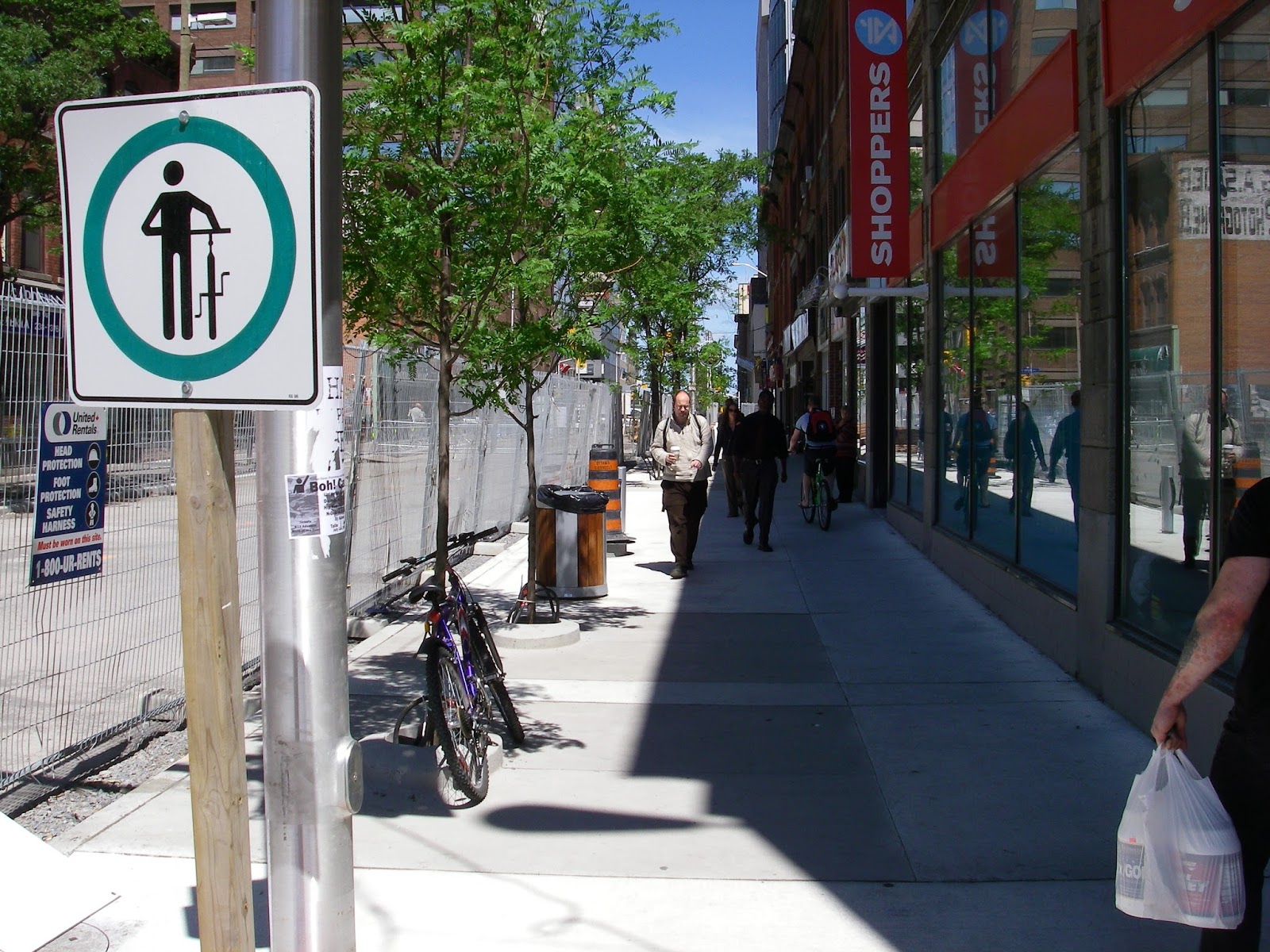
A year later, in November 2008, the road surface still appeared to be in good condition. A new multi-unit newspaper box was installed at the corner of Bank and Slater as a trial, but it remains a one-of-a-kind in Ottawa (since nobody wants to own them). The Starbucks is the only surviving business at this location, with the Shawarma Laguna replaced with another mediterranean restaurant, and Stroked Ego having replaced the second-floor Perfection Hair Design & Spa.

Still in November 2008, we see a circular manhole cover right near the newspaper multibox.

One way that road construction crews make manhole covers level with the road surface is by placing concrete spacer rings underneath them, like these pictured in a later reconstruction on Bronson. In the foreground of the photo are square ones for catchbasins, and behind the traffic barrels are some round ones for manholes. (I am not certain if the Bank Street reconstruction used these spacers were used at this location or if the manhole covers were installed at a fixed height)

By July 2010, some cracks had started to develop around this particular manhole. A lot of traffic goes over this, which can put a lot of pressure on the infrastructure. I can't tell if our manhole is for water or sewer or what, despite being installed six years after amalgamation it still uses the old "Ottawa-Carleton" label. My guess would be for watermain service. Note that the nearby square catchbasin cover doesn't have any broken asphalt around it. Your guess for why is as good as mine.

I took that photo in 2010 with the specific intent of keeping an eye on this manhole cover to see how long it would take for it to get to a point where it needed to be repaired, and I've taken photos periodically ever since.
November 2011, some pieces of asphalt had fallen out.

May 2012, even though the hole in the previous photo was filled in, you can start to see the metal ribs on the edge of the manhole lid.

July 2012, the pothole is in more or less the same state, but a Hydro Ottawa road cut has joined it.

August 4, 2012, some trash, not much else.

It was looking this way for many more years, but when I double-checked Google Street View in preparing this post, I saw that later that same month some asphalt had been applied over the pothole:

This means that the road was built in September 2007, cracks started to developer in 2010, three years after, and it got bad enough to warrant patches in August 2012, at just under 5 years old.
And less than two years later, in May 2014, it was marked for repair yet again:

And a circular patch applied between May and June 2014:

This had disintegrated by the next time I went by in May 2015.

Another attempt had been made at patching it by the time I went by in July 2015:

But a May 2016 Street View capture shows that it is gone yet again:

Curiously, the other circular manhole cover just on the other side of the centreline seems to be doing just fine. It would presumably be for a different service and therefore might have a different configuration under the surface that happens to hold it up better. I wonder what those configurations are, and what makes this one so prone to needing repair. When you look around the intersection in Google Street View, you can see the asphalt around different covers is in different states of repair.
For a less banal history of the intersection of Bank and Slater Streets, see this very thorough retrospective on Urbsite.
Excellent monitoring and discussion of an issue afflicting all Ottawa streets that seems never to be satisfactorily addressed. Its hard to feel that those who are actually responsible for managing our roads have ever undertaken an equivalent study.
ReplyDelete